Estimated time
Est. time
Estimated length
Est. length
Elevation
Elevation
Hard
Very hard
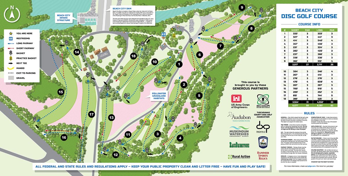
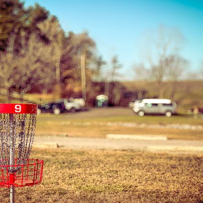
About the course
Not recommended for individuals with limited mobility
Most holes are accessible, but it is a very long course to hike, and there are quite a few pretty steep hills. We are working on getting benches and better paths.
Time your trip
Course traffic - Players usually spend 1.5 - 2 hours here.
Want access to real-time course traffic?It's on UDisc Pro.
Location
See the maps
Time your trip
Course traffic - Players usually spend 1.5 - 2 hours here.
Want access to real-time course traffic?It's on UDisc Pro.
What's in the area
Follow course maps with the UDisc app
Scan with your mobile device
Reviews
Show all
@mahaffey511
It is unnecessary to walk backwards to the next tee box when your playing in the same direction. A few tee's could be moved to help that flow. 13's basket could be shortened so that you are not crossing the fairway on your walk from 17 to 18. Shortening the basket on 13 by 50 ft and putting it on the side hill closer to the road would not effect the hole enough to make a drastic change on udisc or for the hole. Could potentially move 18 basket back further into the woods up towards the rock line road and consider another par 5 or just a long par 4. Overall the course is good. Just minor things could make it great.
@cluteclute
Cool course. Still kinda new. Just missing signage. Good mix of woods and open. Pretty tough from the longs. Not too crazy from the shorts. But not exactly "shott:. Worth playing.

Upcoming events
Show all